A waterRIDE™ hydraulic surface file (.wrb and .wrr) include several parts: the network or grid, the peak dataset and the time varying dataset. Apart from the terrain, all the parameters in the peak dataset in a standard hydraulic file are derived from the time varying dataset and are initially established when the model is imported.
Peak of Peaks
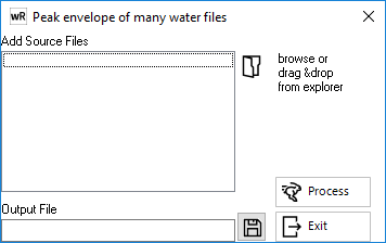
Where a number of storm durations or temporal patterns have been modelled for each flood frequency, a peak of peaks flood surface across all durations can be created to serve as the ultimate peak envelope surface for flood planning. The filename of the surface containing the maximum water level is also stored as an additional result item, allowing the source of the peak level to be readily identified at all locations in the model. All files used in the Peak of Peaks tool must be on the same framework/spatial extent.
If results are on a different spatial framework (eg models of overlapping catchments, or river surfaces and storm surge surfaces), the Drape and Merge tool or can be used to create a "peak of peaks" (WL only).