The Catchment tools are designed to allow a flood/hydrology modeller to process and analyse a DEM (Digital Elevation Model) to determine various characteristics such as:
•Modifying/creating channels in a LiDAR based DEM
•pit removal
•flow paths
•catchment to a point
•sub-catchment centroids
•Strahler order
These tools run on binary GIS grids (*.rst) and are currently limited to DEM's less than 1GB in size (out of memory errors may occur otherwise). You may need to convert DEM's from other grid formats (including waterRIDE) using the grid conversion tool.
The tools are, generally, designed to be run in sequence (eg modify the DEM, run pit removal and flow accumulation and ultimately classify using Strahler Order).
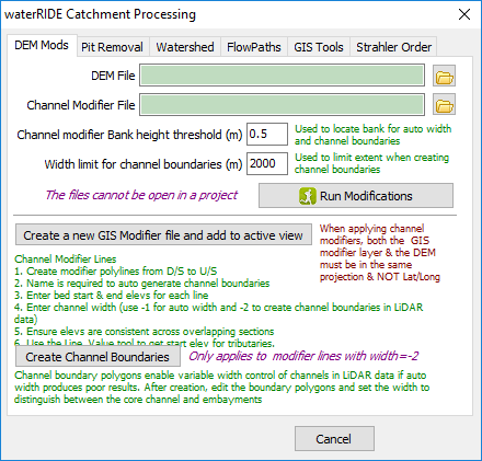
DEM Modification
These tools allow you to modify (burn in) channels in a DEM (especially LiDAR based).
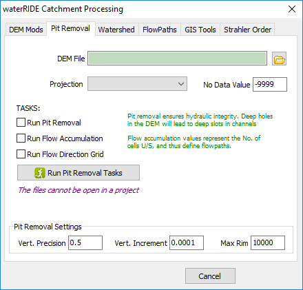
Pit Removal
The pit removal tool allows you to create a hydrologically enforced DEM (ie there is a continuous flowpath from any cell in the DEM to the outlet). Part of this process is the creation of flow accumulation (upstream flow area) and flow direction.
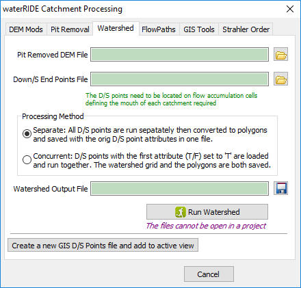
Watershed
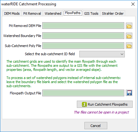
Flowpaths
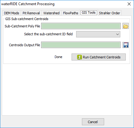
GIS Tools
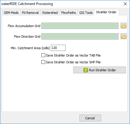
Strahler Order
The Strahler Order tool allows you to classify defined waterways using the Strahler Order stream classification technique.