![]() Manipulating a Layers Display Styles
Manipulating a Layers Display Styles
The Display Styles button ![]() is used to change the settings of the data displayed in the View Contents layers list.
is used to change the settings of the data displayed in the View Contents layers list.
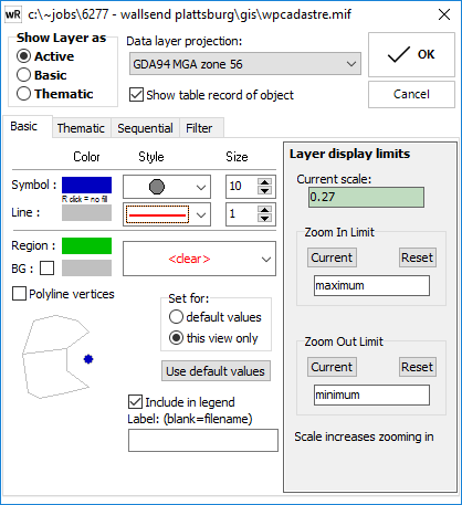
To change the display settings for a layer, select the layer from the layer list in the Display Panel by clicking it with the mouse, then click the Display Styles button to open the ‘Styles’ box. The display settings for the selected layer can then be adjusted.
The ‘Styles’ dialogue can also be opened by double-clicking any layer in the list.
The "Styles" dialogue box varies depending on the type of file that you want to customise. There are three major "types" of files: Image FIles, Vector GIS Files and Water Surfaces.
A layer can be displayed in one of three states:
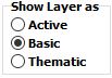
Active - The layer is to thematically mapped and the data inside the layer is available for interrogation (eg water surface values or GIS field values).
Basic - The layer is displayed for "reference only"
Thematic - The layer is to be thematically mapped, but not available for interrogation.
There are four tabs that control how a layer is displayed: Basic, Thematic, Sequential and Filter