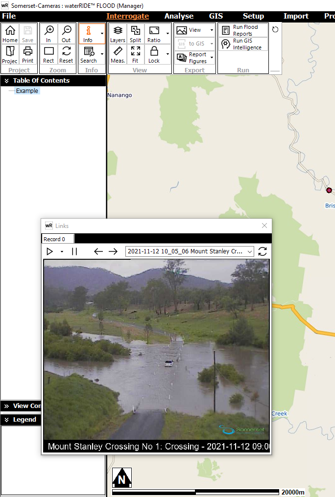
One of the features of waterRIDE™ is its support to link any GIS layers to images, graphs, spreadsheets of tabulated data, text, web sites and various OLE (Object Linking & Embedding) objects.
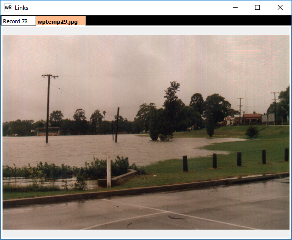
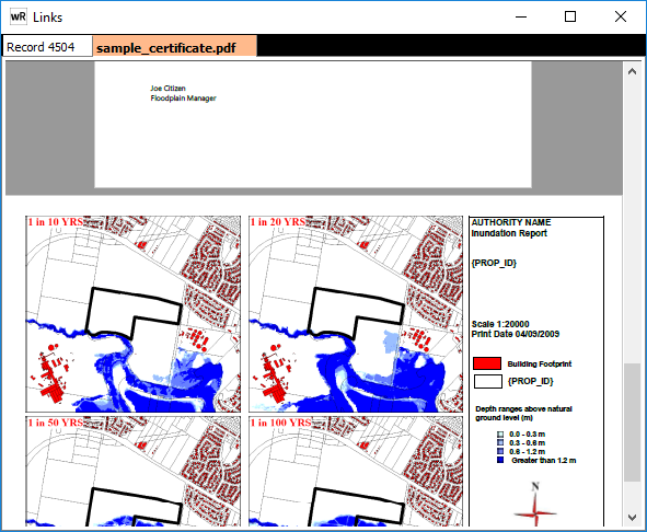
GIS Links are used link images, graphs, tabulated data, reports, PDF's, spreadhseets, text, web sites and various OLE (Object Linking & Embedding) objects to particular entities in the ‘Active’ layer and display them in a ‘Links’ window (see Links Window). For example you may wish to link a photo of a house to any element that has a specified field containing the value 'house.' When any element that has the value of 'house' in the specified field is clicked with the info tool, the picture of the house will be displayed.
To enable ‘Link Contents’ mode, click the ![]() button from the View group.
button from the View group.
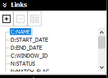
waterRIDE™ lists all of the fields (columns) from the active GIS layer. The single capital letter at the beginning of a name, denotes the type of data it contains:
C: character-based (textual) data
D: date data
L: logical (true/false) data
N: numerical data
Note that the above formats are automatically read from the input GIS layer.
Links can be created and edited using the Add/Delete/Edit tools.
Some example links are shown below:
Images
Other waterRIDE Projects
A Direct Link can be setup from within one project (normally the Master Project) to multiple other waterRIDE projects. Each object in an active GIS layer should contain the path to the project file that should be opened when that point/polygon is clicked. For example, bounding rectangles from separate flood studies could be used to link to each flood study (as shown below). Perhaps flood extents for each study could be used, but bear in mind that detailed (vector) extents may take time to display.
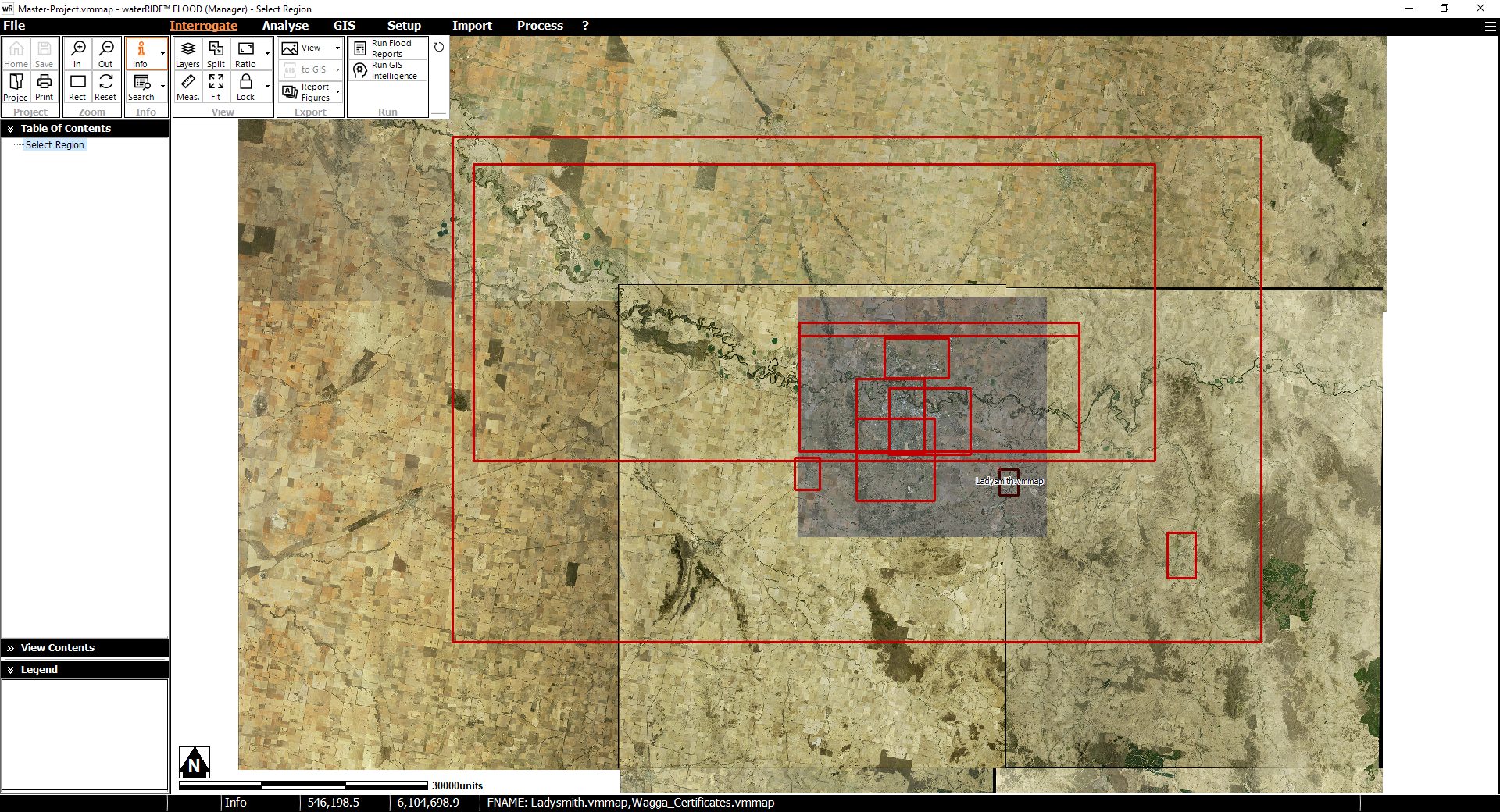
Image Gallery